Tales from the OG: Whangaripo Follies
“Matakana has some nice gravel roads”. Yeah right.
The goal: discover a brilliant new gravel loop within an hour’s drive of Auckland.
The result: not so much!
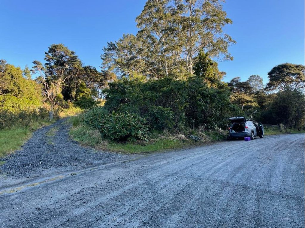
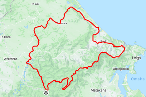
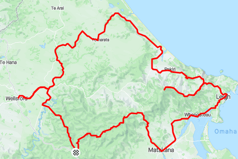
“Matakana has some nice gravel roads”. This was the simple starting point of my route planning. But how to link them together? And how to minimize driving time getting there? The answer was the Whangaripo Valley, and parking at the soonest possible turnoff from SH1.
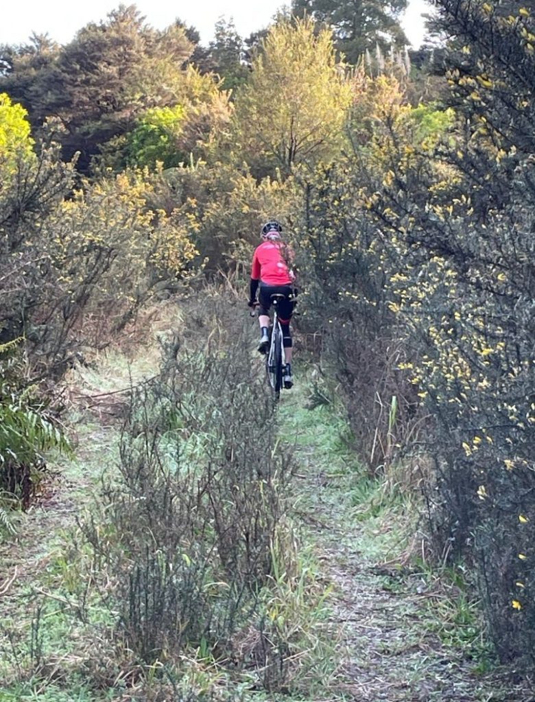
I’m not even sure why Waiwhiu Rd exists, it goes nowhere. But it gave Rex and I a place to begin our adventure. From the car, my route took us straight up a steep abandoned pylon access road, packed with shin-shredding gorse. A fitting warmup considering what was to come.
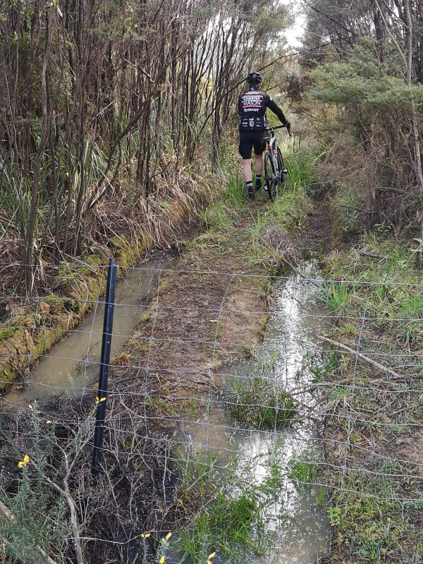
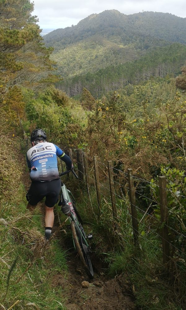
Within ten minutes, the route would go from bad to worse with a muddy fence jump and a rapidly disappearing path.
However, my brilliant route planning paid off and we popped out on a proper pedalable forestry road. Things were looking up (and down and up and down). As we arrived on our first fast sealed road in beautiful green countryside, I was lulled into a false sense of complacency…the next thing I knew we arrived in Wellsford. This was definitely not part of the plan! I can only assume the GPS knew what was coming and was desperately trying to save us. Retracing footsteps is never fun, but in no time we were back on course.
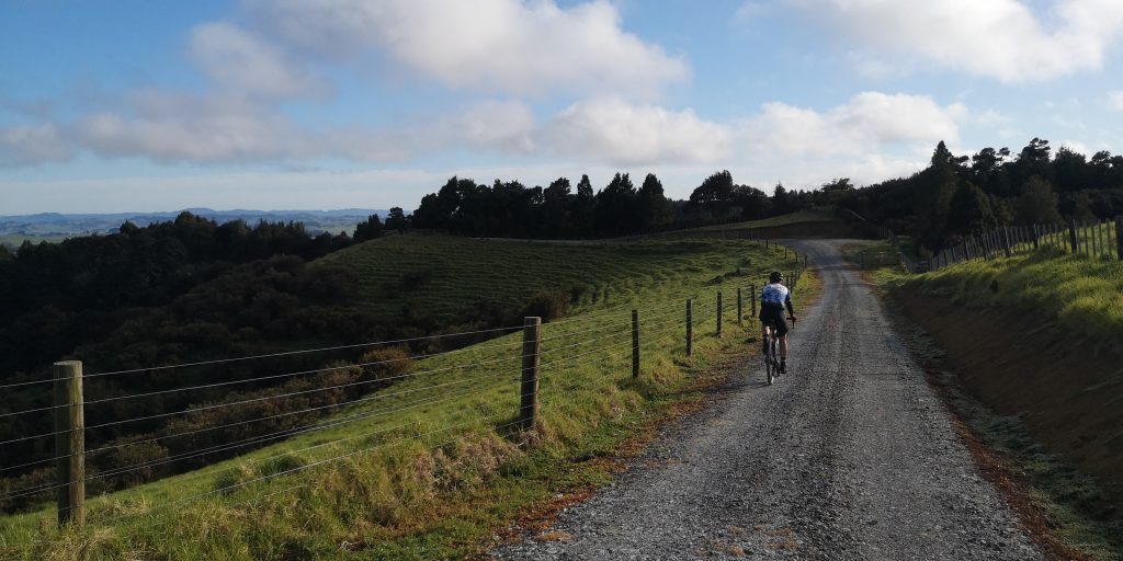
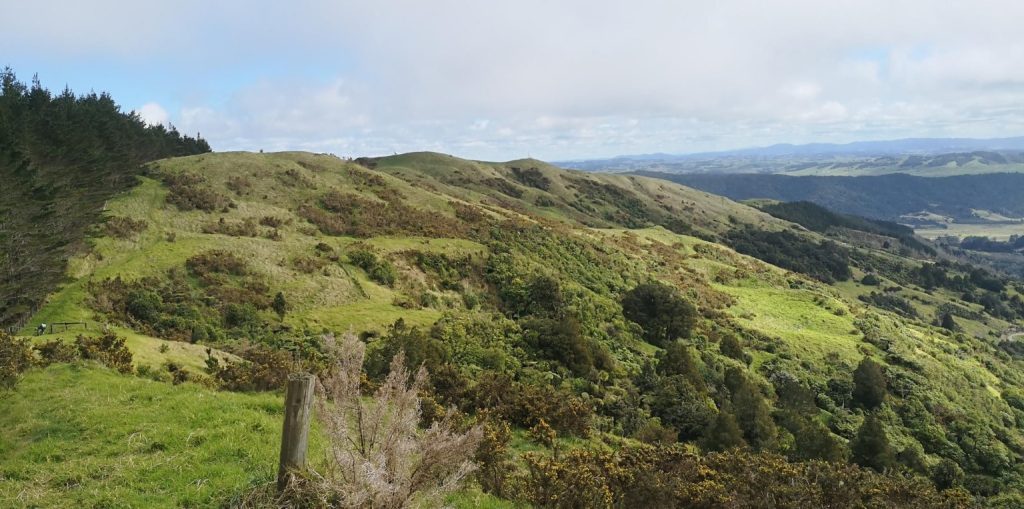
The next couple of hours actually went to plan. Scenic gravel roads linked up between sections of empty rural seal. Glimpses of native bush had us imagining the pre-settlement landscape before it was cut into so much desolate pasture.
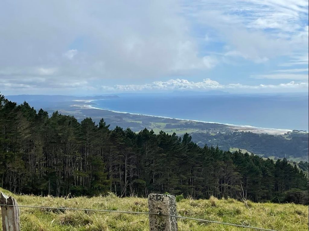
As we turned south following the coast, there were no water views. But there was our first major gravel climb. There’s something special about taking a long climb slow enough to actually take in the growing landscape. At the top we turned ominously onto Rodney Rd. If the route plan failed, we would be coming back this way again. Rodney Rd was also utterly spectacular. It follows a high undulating ridge with open views on one side of a golden crescent beach stretching to Mangawhai,
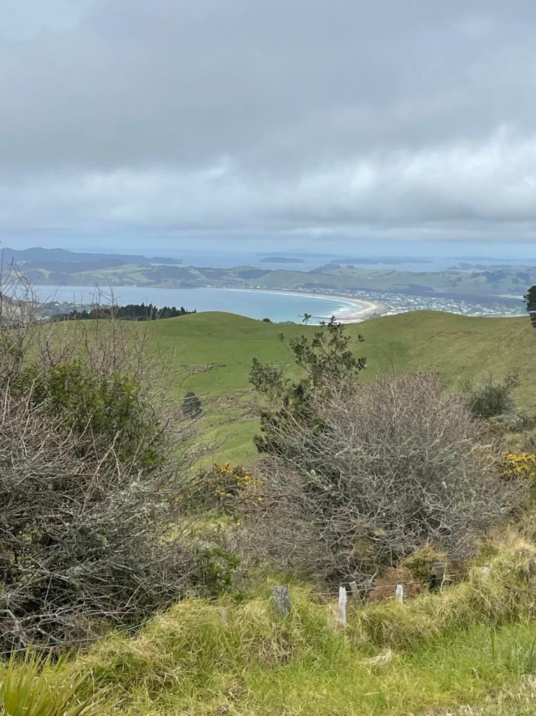
and the other side more sea views over Omaha Bay.
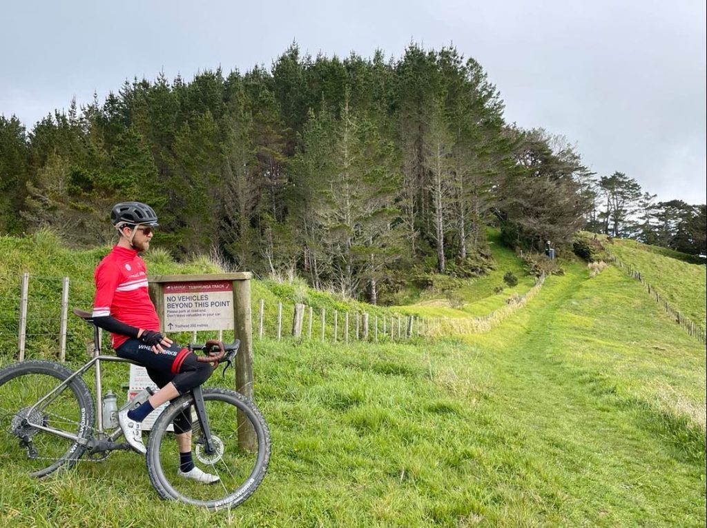
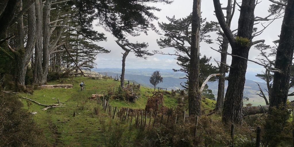
The ridge road finished at the start of the Tamahunga Track. In my master plan this track would be semi-rideable and we would cut through the heart of the Whangaripo forest and back to the car. Lol.
It started with literally five turnstiles to climb within the first 200m, then some swooping steep grass track. But it was semi-rideable: so far so good.
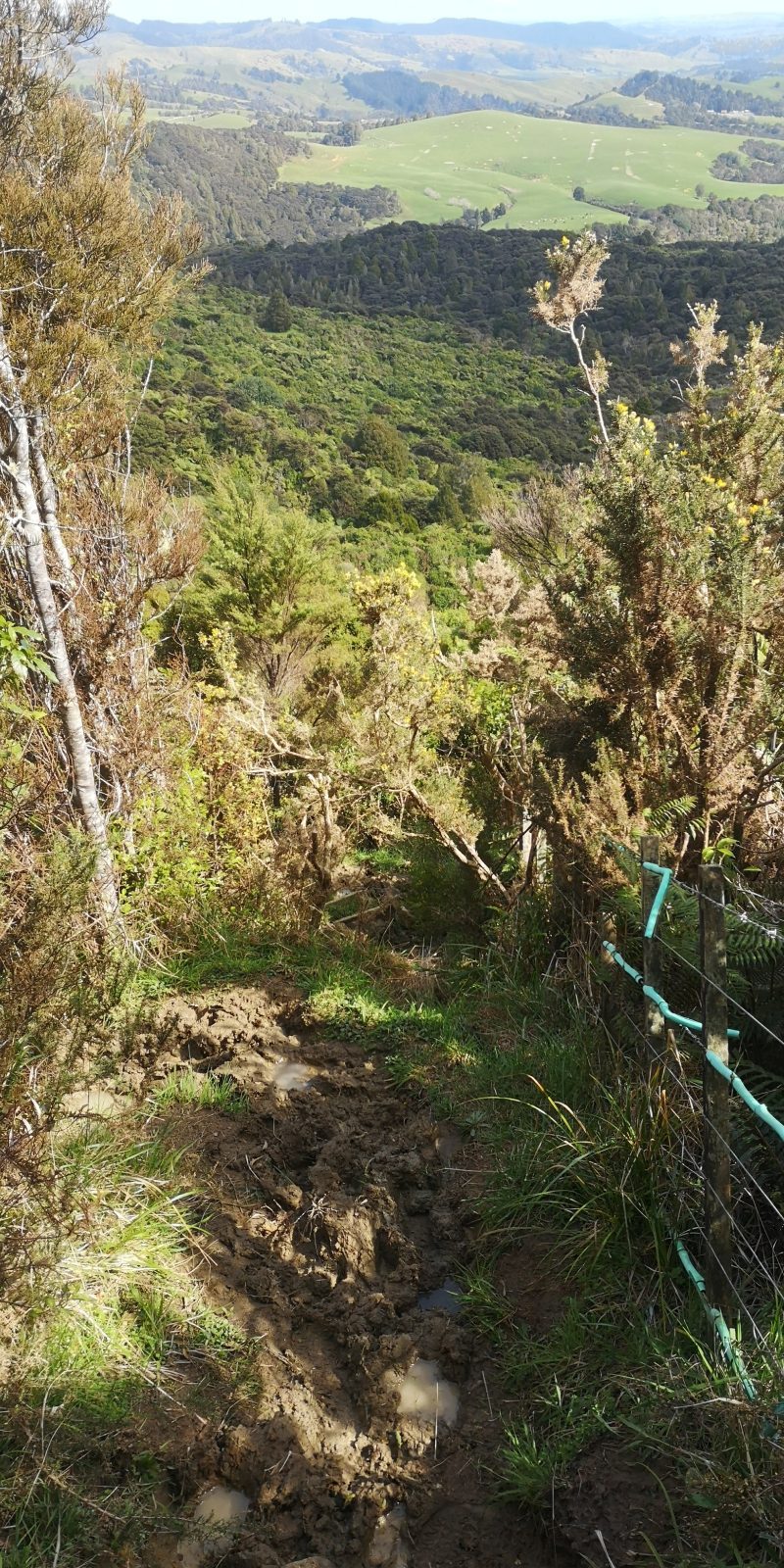
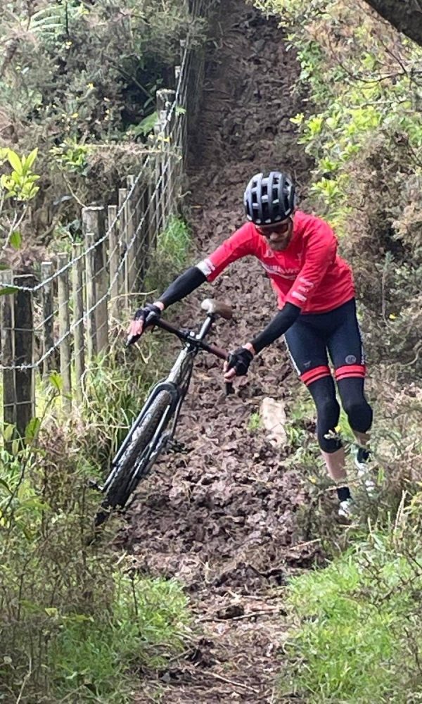
But then we joined a livestock trail and our path instantly became a steep muddy hellscape. It wasn’t even walkable, but shockingly it’s part of the Te Araroa Trail. We pushed on for a few minutes and then called a halt. It quickly became apparent that we could be pushing and shoving our bikes for hours in the mud. Using our phone maps we found another option off the ridge, but it would involve trespassing through an open quarry. No need to finish our adventure in jail.
So the only option was to backtrack - all the way back to the ominous Rodney Rd turnoff. Then a large bypass on sealed roads through to Matakana where we refueled and climbed back up the valley wall to rejoin the gravel path of my original route.
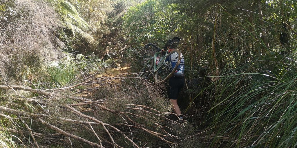
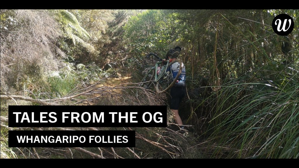
We were back on the trail again after just a two hour detour. But weren’t out of the woods yet. At first the trail was rideable on a nice slippy orange clay. Treefall was only a minor nuisance.
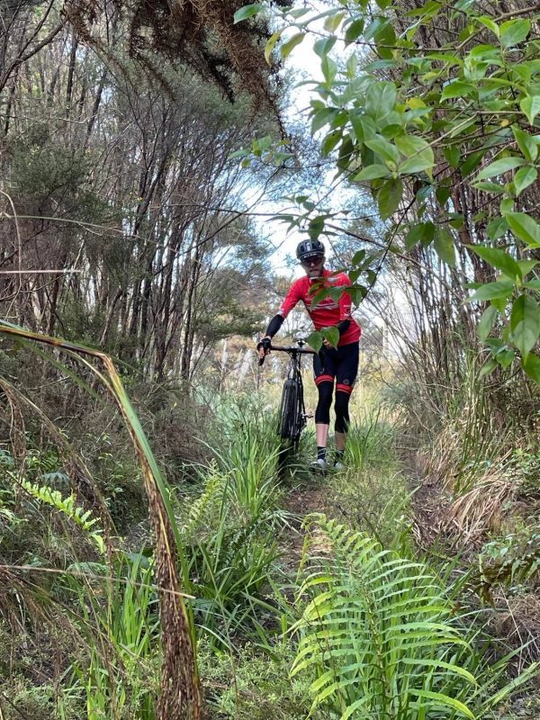
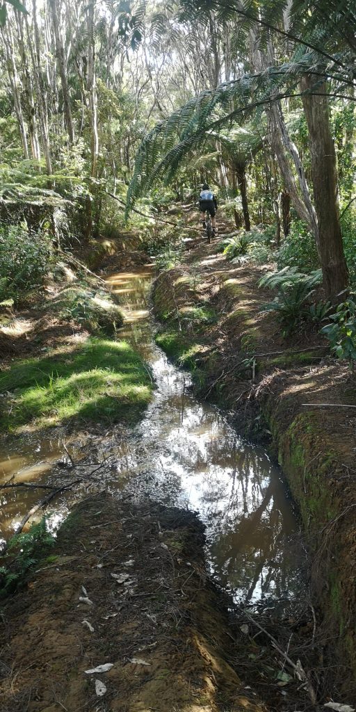
But then the trail took on a whole new character. Water-filled ruts grew ever larger and deeper until it felt like we were shrinking into some primordial mud-swamp. When the trail finally connected with a logging road we were within sniffing distance of the car - just one long descent.
This adventure definitely tested our stamina, skills, decision-making, and sense of humor. When I designed it on Strava I accepted that I didn’t know how it would play out in real life. The mystery was the plan. And it turned into a freakin awesome day out! Thanks Rex for sharing this mad adventure with me.
Carl's Tip:
Download offline maps before heading out on a ride which could involve navigation. The moments you’re most likely going to need to consult your phone are the moments you’re least likely to have any cell coverage. AllTrails is excellent, but there are many good options.


