Tales from the OG: Puhoi Glissade
Why ride the classic loop when there’s shortcuts to explore?
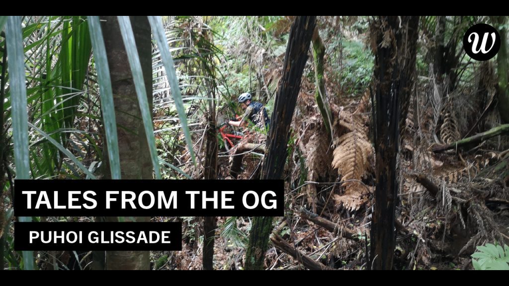
Separated from the group in steep, dense bush, Sherp finally responded ‘Polo’ to my ‘Marco’ - good news! Bad news - he’d lost his bike. This definitely wasn’t the classic Puhoi loop...
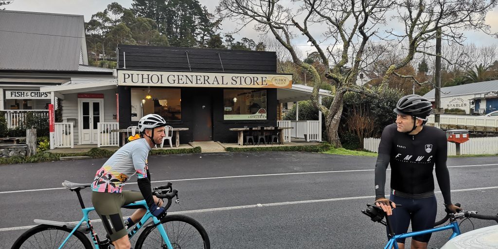
The Puhoi loop is Auckland’s most popular gravel ride. The old-timey Puhoi General Store, Cafe, and Pub are only a 30 minute drive from the city and a popular staging area for cyclists. Having done the classic loop before, I wanted to add on a few kays and was open to a bit of adventure.. So using the Strava Route Builder, I found what I assumed would be a simple additional loop off the main circuit.
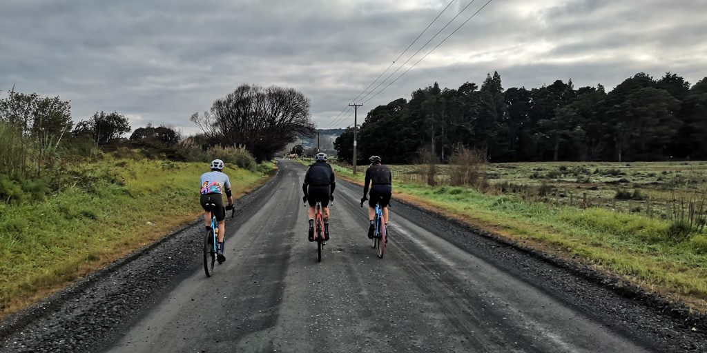
Andy, Sherp, The Chairman, and I set off at 7:30am - and as is standard, blew our small bunch to bits on the very first climb where the gravel starts. Our fractured party regrouped at the top before Andy gave his new OGs a first proper test on the descent.
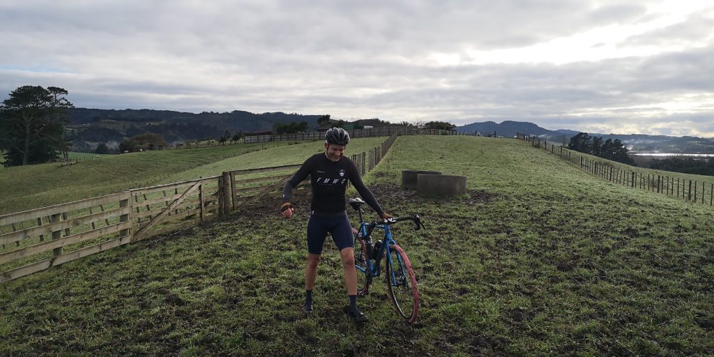
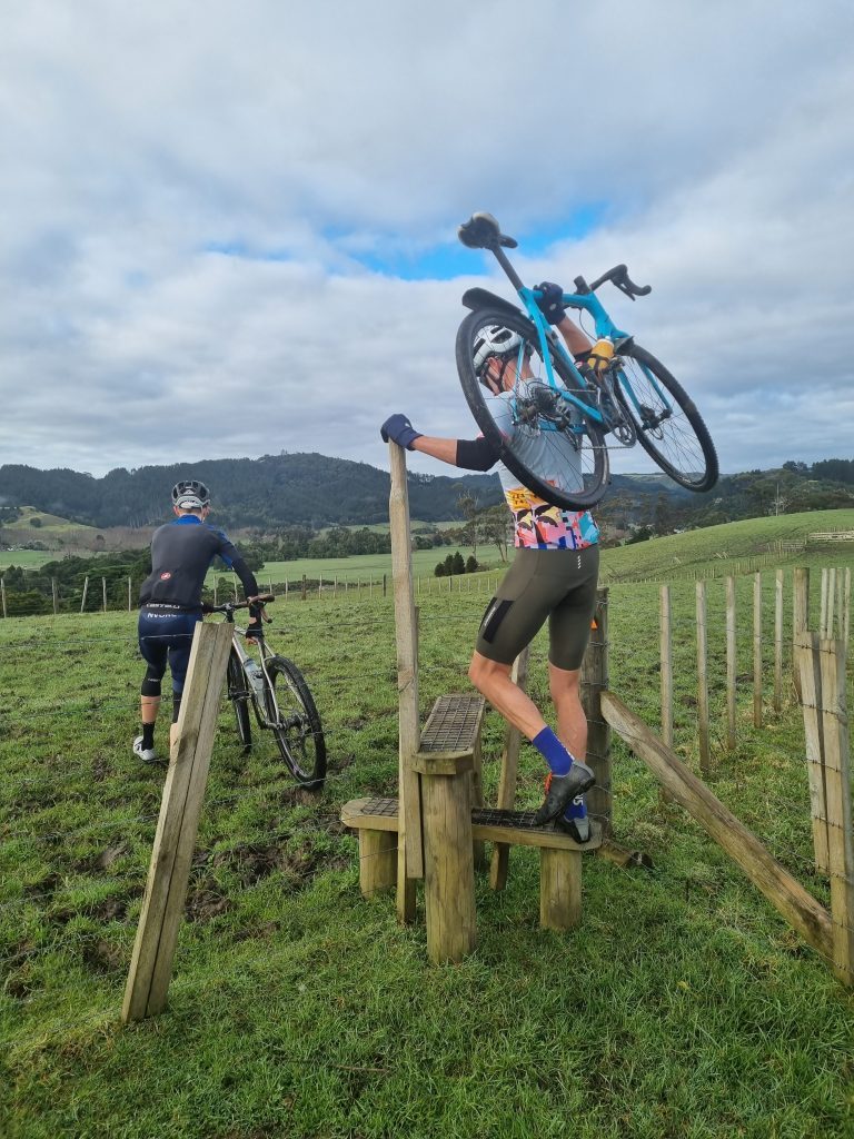
Our first turn-off from the main route was normal enough. Then my Wahoo pointed us down a rural driveway. This was the moment we could have turned back. But instead we found a wooden gate which led into a pasture and an orange marker beckoned us to the first of many stiles. The muddy turf pockmarked with deep holes from livestock wasn’t really rideable, and felt a bit like trespassing until we noticed Te Araroa Trail signs.
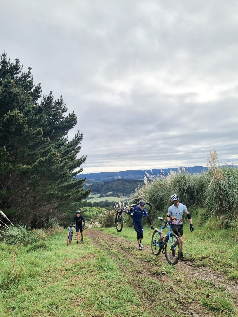
After a short stint onto a road, then another fence hop, we were back in the mud - this time an unending steep climb. At first our gravel bike gearing and tyre traction was doing the job. We even powered past a group of grinding mountain bikers. But when we ran out of grip around the next corner they casually rolled us as we lugged our bikes up the hill.
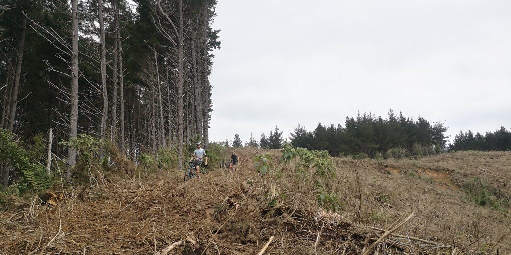
As we reached the transmission station at the top of Moir Hill, there would be no turning back. But moments later, we discovered our next turn onto Barkers “Road” was actually a narrow 5k clay slide straight down the mountain - unrideable. Surely the forestry road around the corner was a better way! With numerous truck track routes off the mountain and the joy of chasing a pack of smelly goats, everything was going to be just fine.
But as each route off the ridge petered out into another dead end, we were running out of options.
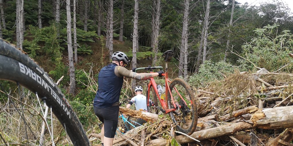
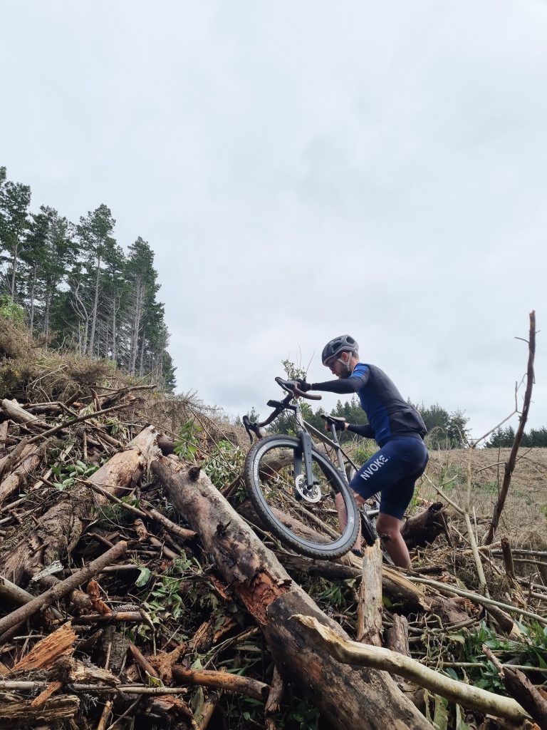
Before we lost mobile signal, we calculated we were only 500m from a road - sniffing distance! And just our luck we had The Chairman in our midst, who happens to work in ‘risk assessment’. He confidently took the lead. All we had to do was carry our bikes over a few fallen trees and we could follow the stream below down to our destination.
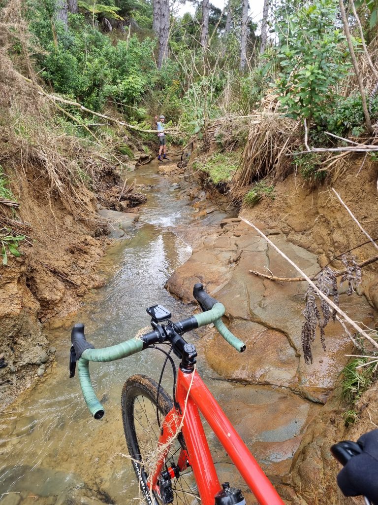
About that stream…
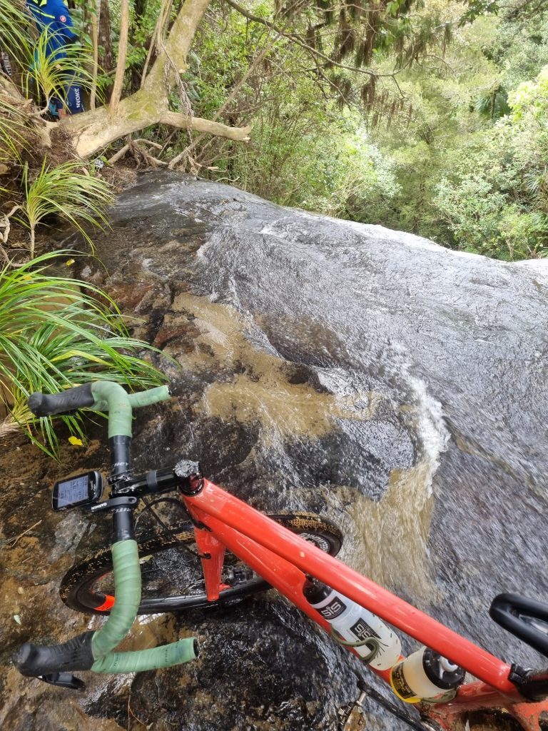
Did I mention waterfalls?
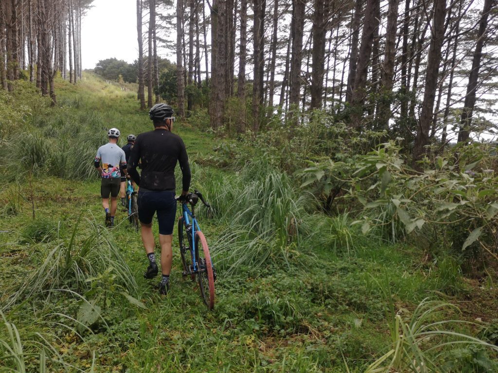
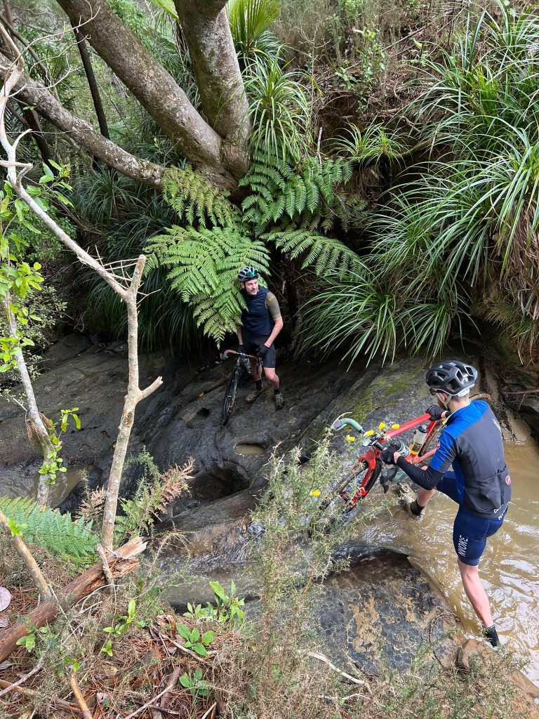
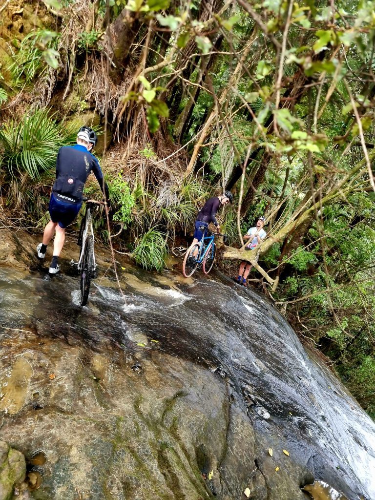
After successfully passing our bikes over the lip of the first waterfall, we were forced to glissade with our bikes through dense bush for the next hour.
And in a parallel to the attacks on the first climb of the day… we were quickly separated...
‘Marco!’
***Thanks to Andy, Sherp, and the Chairman for your good humor and great photos.
Carl's Tip:
When planning an Offroad/Gravel route, try using the Strava Route Builder. Select “prefer dirt surfaces”, create a start and end point, then drag your route around to see how it might auto-fill with unexpected options. You’ll discover possibilities not available via Google Maps. But beware - it may not be rideable! A secondary Google of the track name, or the Google Street View Layer mode can yield more information. However, not knowing everything can be part of the fun 🙂 Check in with your group to make sure they’re prepared and flexible on finish time if needed. And make sure someone at home knows where you’re headed!


